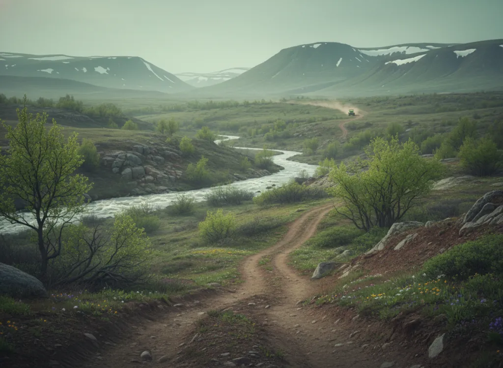
The Sylamore Ranger District of the Ozark-St. Francis National Forests manages the primary OHV trail network in north-central Arkansas's Ozark highlands, a riding landscape entirely distinct from the southern Arkansas Ouachita Mountain parks that receive more attention. Where the Ouachita National Forest (Wolf Pen Gap, Crystal Springs) occupies Arkansas's folded mountain province to the south, the Ozark National Forest covers the dissected Springfield and Salem Plateaus of the Ozark Uplift in the north: a landscape of broad, forested plateau surfaces cut by the deep river valleys of the White River, Buffalo River, and their tributaries into the canyons and bluffs that define Ozark country. The Sylamore District OHV trail system operates in Stone and Izard counties around the city of Mountain View, the self-proclaimed Folk Music Capital of the World, situated on the edge of the Springfield Plateau where it breaks away into the deeper river canyon country. The trail network follows the ridge-top terrain above the Buffalo National River to the north and the White River to the south, traversing the characteristic Ozark landscape of dry chert and sandstone ridge-tops under shortleaf pine and upland oak, moister north-facing slopes in hardwood cove communities of maple, beech, and basswood, and the rocky creek drainages cutting through the plateau. The Sylamore Creek corridor within the national forest provides particularly scenic riding along a clear-water Ozark stream. ATVs, UTVs, and off-highway motorcycles are accommodated on designated routes; no day-use fee or OHV registration required on national forest land. Sylamore Ranger District at Mountain View (870-269-3228) manages current trail conditions and seasonal access.
Hours
Open year-round on designated OHV routes. No day-use fee. Arkansas does not require OHV registration on National Forest land.
Phone
870-269-3228Trip openings, seasonal updates, and the occasional deal, straight to your inbox.
FAQ
Everything you need to know before you get started.
Have a question, or ready to book? Reach out and we’ll get right back to you.